Homeowners
See Your Property Clearly After the Storm
Wind, hail, falling limbs, and severe weather can affect roofs and structures in ways that may be difficult—or unsafe—to see from the ground.
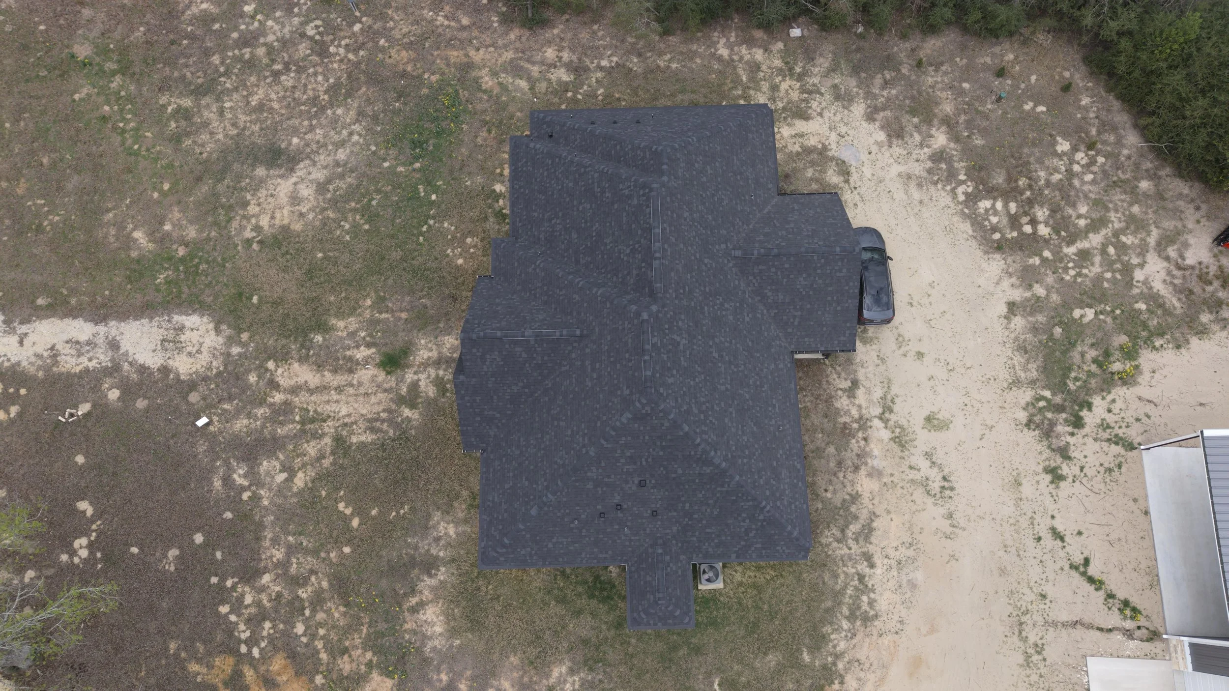
Leon County Property Services provides professional aerial documentation for homeowners and rural property owners throughout Leon County and surrounding communities. Using high-resolution drone imagery, we provide a clear visual record of visible roof and exterior conditions without requiring you to climb onto the roof yourself.
Whether your property includes a single home or multiple structures such as barns, shops, garages, sheds, and outbuildings, we can document the property safely and efficiently from the air.
Why Choose Leon County Property Services?
Leon County Property Services is locally owned and operated by Byron Jefferson, a Marine Corps veteran, licensed insurance adjuster, and FAA Part 107 certified drone pilot.
We understand that property owners want clear information without unnecessary complications. Our goal is to provide professional aerial documentation, dependable local service, and quality imagery that allows you to clearly see visible conditions affecting your property.
Ready to See Your Property from a Better Perspective?
If your property has recently experienced wind, hail, falling limbs, or other severe weather—or you simply want current aerial documentation of your roofs and structures—contact Leon County Property Services to schedule your flight.
Single Structure: $175 | Multiple Structures: $225
Important Information
Leon County Property Services provides aerial visual documentation only. Our services are not structural, engineering, roofing, or home inspections and do not determine insurance coverage, guarantee claim approval, or certify the condition or structural integrity of any roof or building. Insurance coverage decisions are determined solely by the applicable insurance carrier.
Simple, Flat-Rate Pricing
Single Structure — $175
Ideal for one home, barn, shop, detached garage, or similar structure.
Includes aerial documentation of visible roof surfaces from multiple angles, close-up imagery of visible areas of concern, and digital photo delivery.
Multiple Structures — $225
Ideal for properties containing a home and one or more additional structures, including barns, shops, detached garages, sheds, and other outbuildings.
This package includes aerial documentation of multiple structures, overall property imagery, close-up photographs of visible areas of concern, and digital photo delivery.
Travel: Pricing includes service within approximately 25 miles of Buffalo, Texas. An additional travel charge may apply outside our standard service area.
What We Document
Our aerial documentation may include:
High-resolution images of visible roof surfaces
Multiple aerial angles of each structure
Close-up imagery of visible areas of concern
Missing, lifted, or displaced roofing materials visible from the air
Metal roofs, shingles, gutters, and roof edges
Barns, shops, detached garages, sheds, and outbuildings
Fallen limbs, debris, and other visible storm-related conditions
Overall aerial views of the property
What You Receive
Following your appointment, you receive:
High-resolution digital photographs
Organized aerial imagery of documented structures
Close-up photographs of visible areas of concern, when present
Overall property imagery when applicable
Same-day photo delivery when practical
A simple condition summary describing visible conditions captured during the flight